Surveys & Drilling
Find water with confidence, drill it right
Every successful borehole starts with science. Our hydrogeologists carry out hydrogeological and geophysical surveys to identify the most productive drilling point and the expected depth before a single metre is drilled.
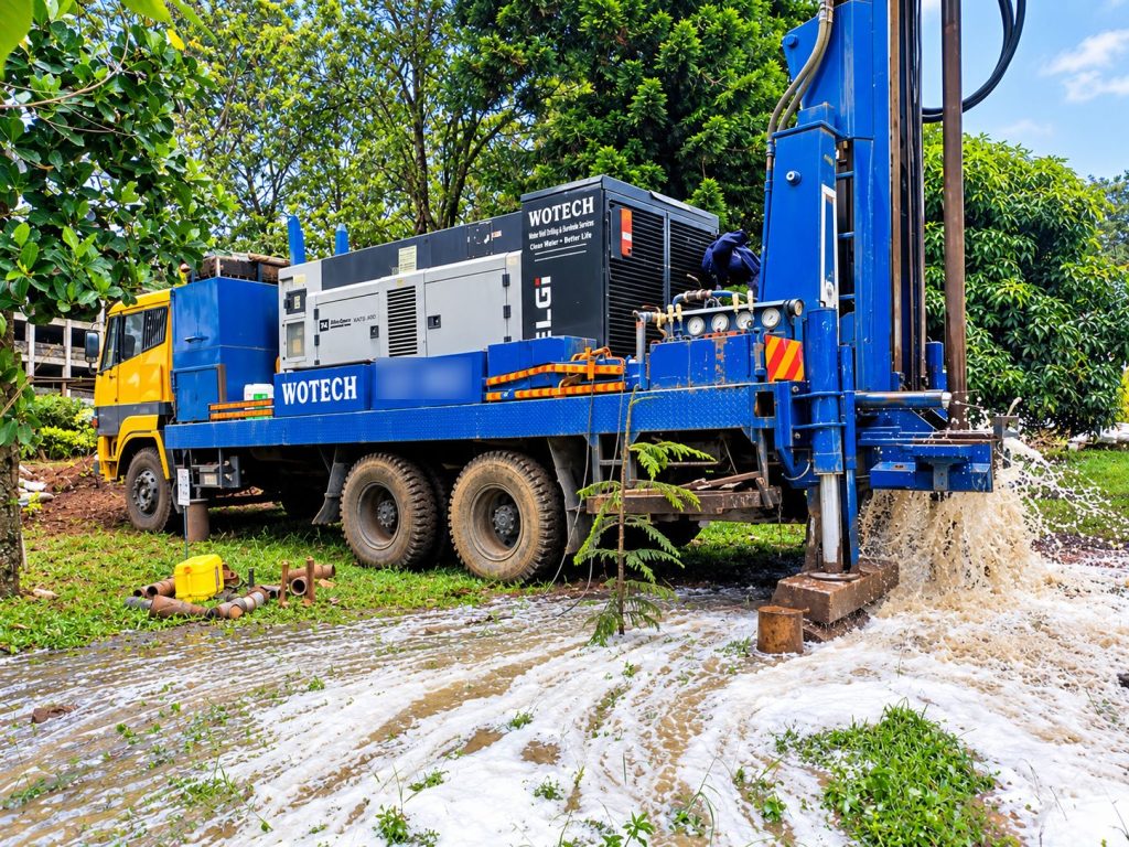
Our truck-mounted rigs, rated to 400 m, then drill, case and develop the borehole, followed by test pumping to confirm sustainable yield and water quality.
What we offer
Scope of services
- Hydrogeological & geophysical surveys with survey report
- Support with WRA and NEMA approvals
- Borehole siting, drilling and casing up to 400 m
- Gravel packing, development and flushing
- Test pumping and water quality analysis
- Borehole capping and completion records
The Wotech advantage
Why clients choose us for surveys & drilling
Survey-led drilling
Reduce the risk of a dry or low-yield borehole with a professional survey.
Deep-drilling capacity
Rigs rated to 400 m with 8.5″ to 12″ bits and down-the-hole hammers.
Proven yield
Test pumping confirms how much water you can sustainably draw.
Full documentation
Drilling logs, test pumping data and completion records for every borehole.
Related projects
Recent work in this area
FAQs
Common questions
Speak to our team for advice specific to your site.
How long does drilling take?
Drilling itself typically takes a few days depending on depth and geology. Surveys and approvals come first; we give you a full timeline with your quotation.
What determines the depth of my borehole?
Local geology and the aquifers identified in the hydrogeological survey. The survey report recommends a target depth before drilling.
Do you test the water?
Yes. We carry out test pumping to establish yield, and water samples are analysed so the right treatment can be specified if needed.